
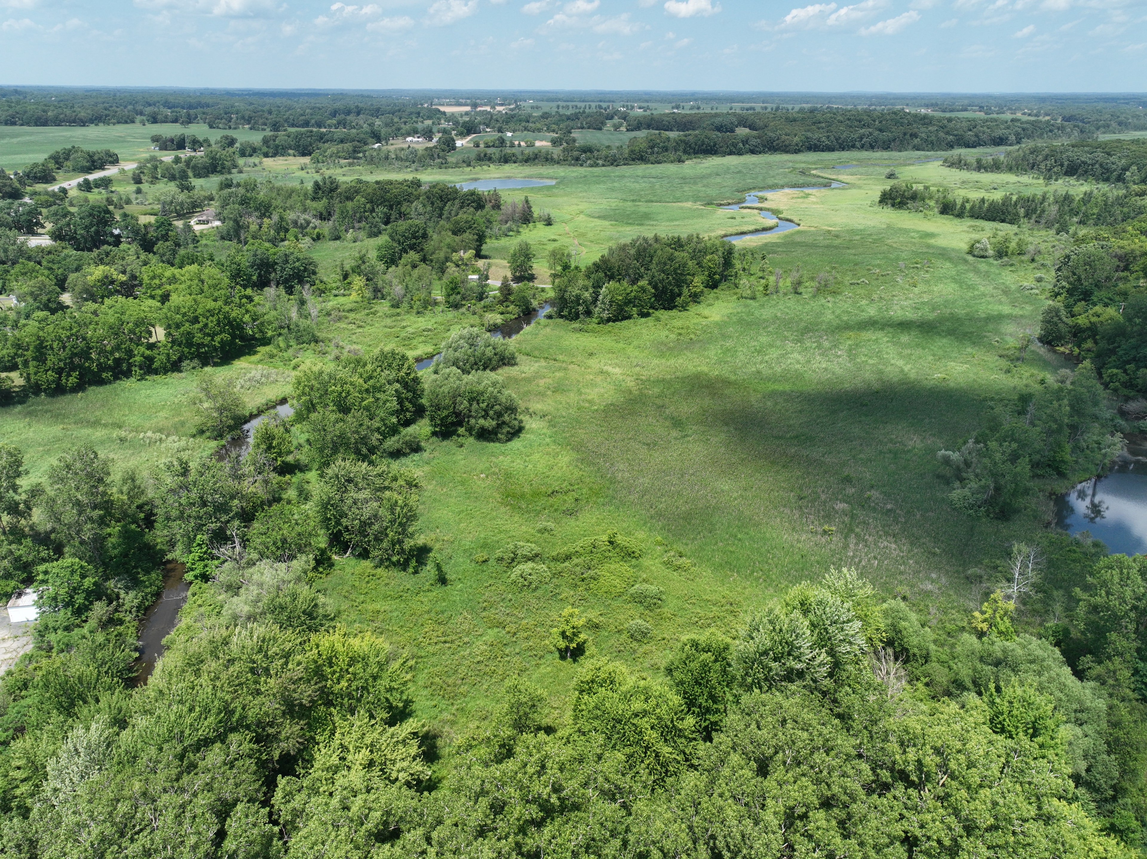
Drone Imagery & Monitoring
Eyes in the sky.
FAA-licensed drone pilots collecting aerial imagery and providing data-driven reports that keep your project on course all the way from initial surveying to final closeout.
A smarter way to see your project
Traditional site visits give you a ground-level view. Drone imagery gives you the full picture — capturing conditions across an entire project area in a single flight, with the resolution to spot issues before they become problems.
Starlit Solutions deploys drone technology as an integrated part of project management and environmental monitoring, turning aerial data into actionable reporting for clients, regulators, and stakeholders.
Featured Project
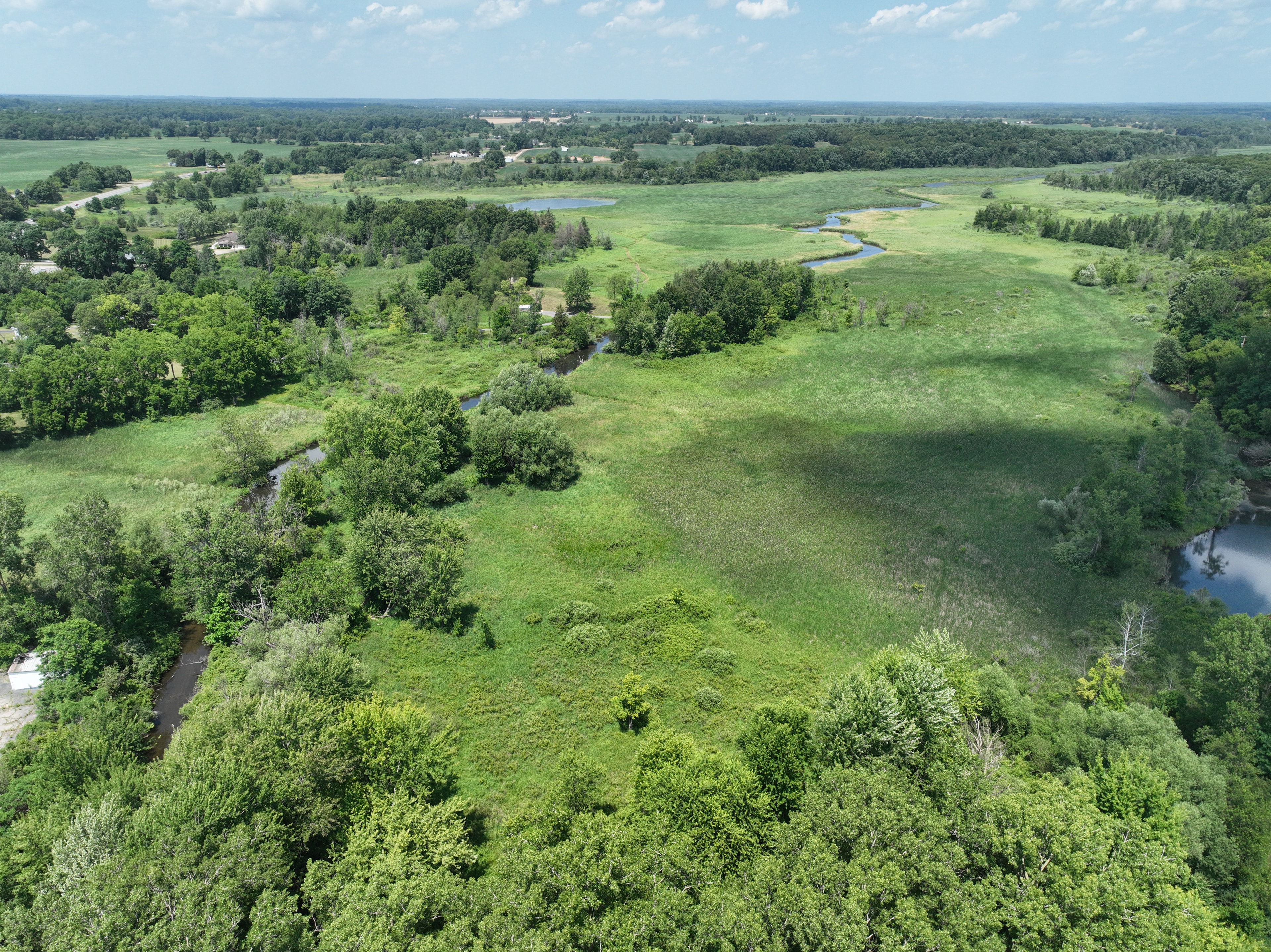
Drones in the Field
Case Study
Brooklyn Dam Removal - Construction Reporting
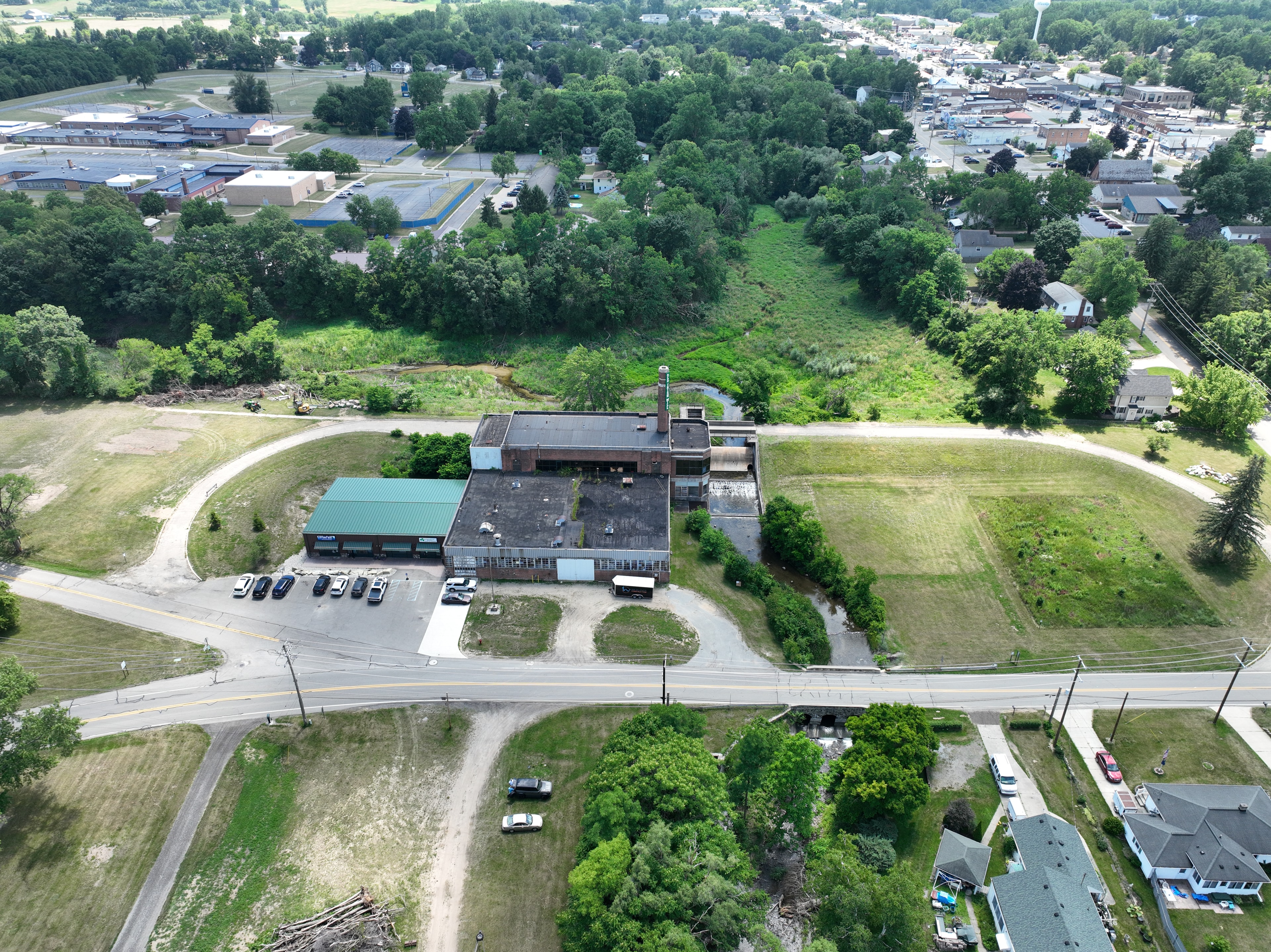
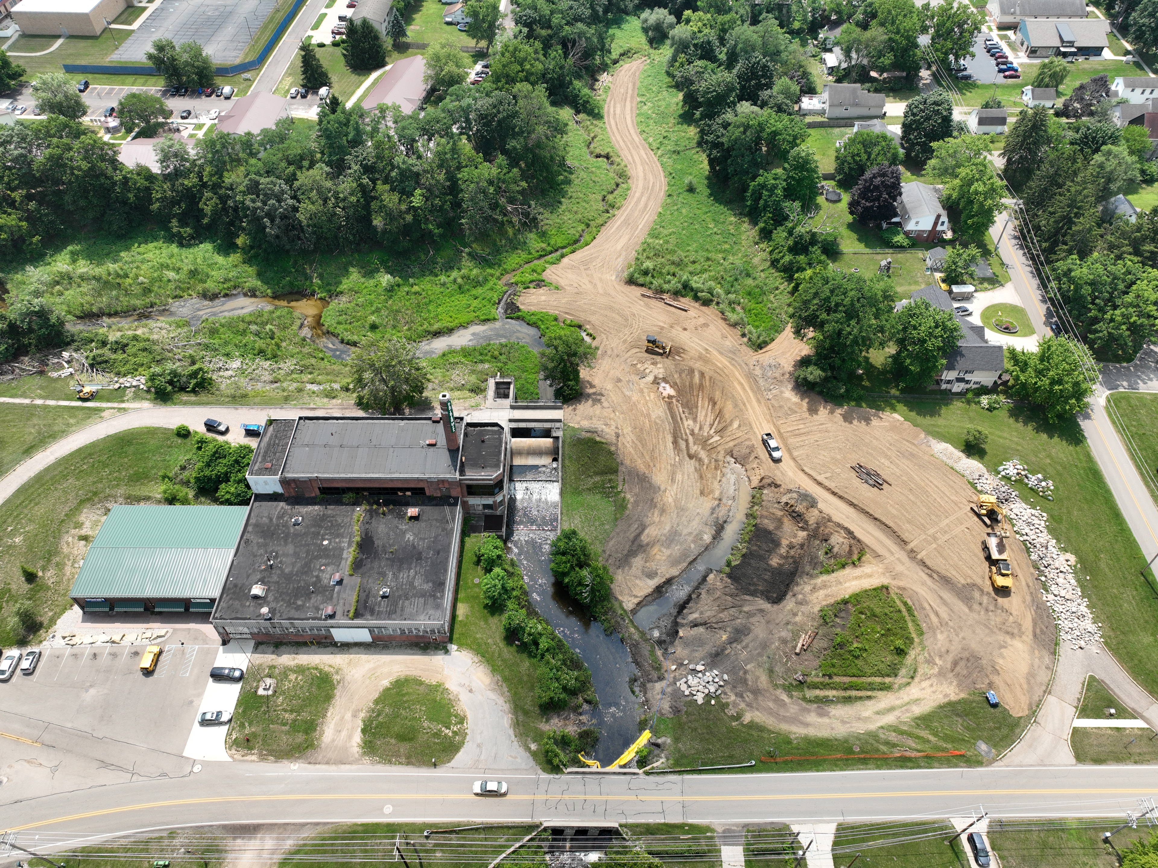
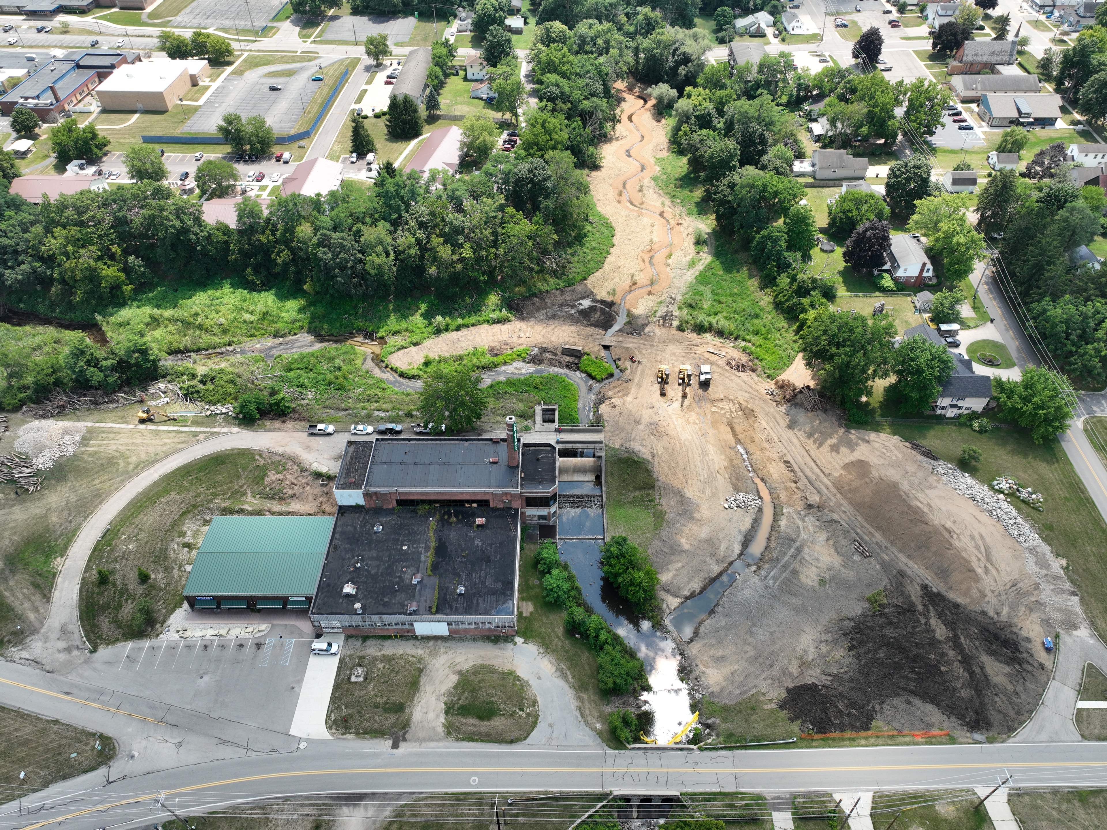
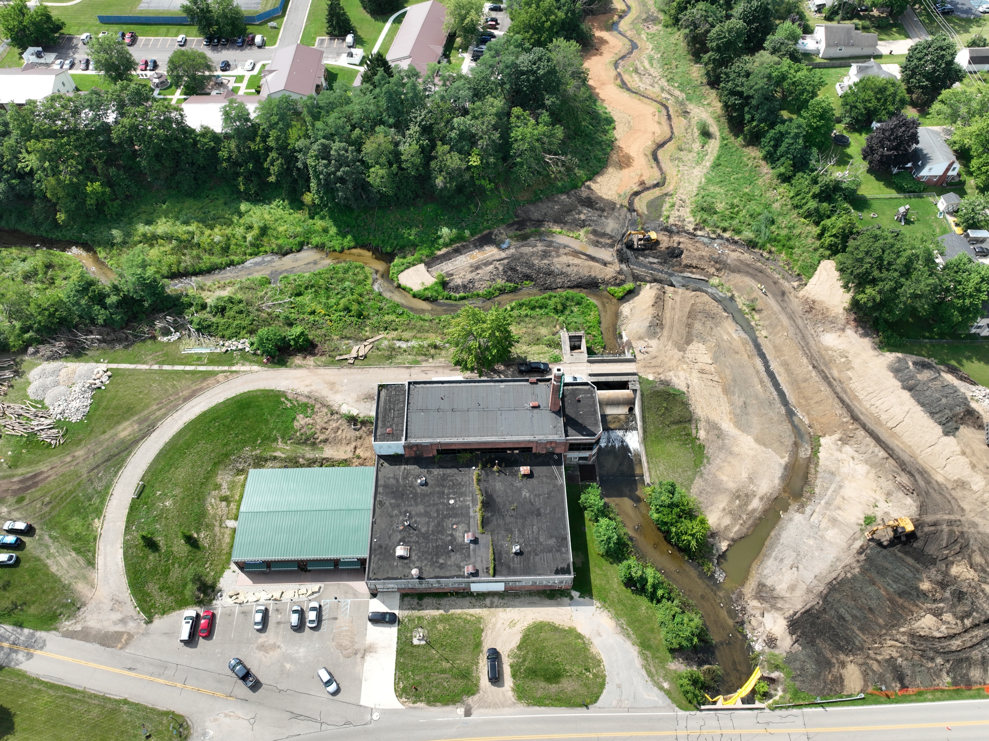
Sequential aerial imagery captured throughout the Brooklyn Dam removal project construction. Drone imagery was used for documenting site conditions, construction progress, weekly documentation of progress to stakeholders and the community, and permitting reporting. After construction is complete, drone imagery will be used for monitoring stream channel stabilization, wetland recovery, and tracking any potential erosion so that the project team can apply adaptive management techniques. Using drones in the field provides a clear visual record for reporting, monitoring, and stakeholder communication.
What We Capture
Drone services built for environmental work
Aerial Surveys
High-resolution site surveys that document existing conditions, track change over time, and support permit applications and environmental assessments.
Progress Monitoring
Sequential imagery at key project milestones giving owners, contractors, and regulators a clear visual record of work completed.
Reporting & Documentation
Annotated photo reports and flight logs formatted for agency submittals, stakeholder updates, and project closeout packages.
Orthomosaic Mapping
Georeferenced aerial maps stitched from overlapping imagery providing a complete project reach image.
Community Outreach
Drone imagery is a great tool to utilize when communicating with the public, sending out a newsletter, or posting to social media to highlight project updates and milestones.
Compliance Support
Aerial documentation timed to regulatory inspection windows, providing defensible visual evidence of permit compliance.
How It Works
From flight plan to final report
Scope & Flight Plan
We review project goals, site boundaries, and regulatory requirements to build a targeted flight plan.
Site Mobilization
FAA-compliant flight operations with safety briefings, airspace authorization, and equipment checks.
Data Capture
Systematic aerial coverage at the resolution and overlap for your needs: photos, video, or mapping.
Processing & Analysis
Raw imagery is processed into orthomosaics, annotated reports, or time-lapse sequences depending on project needs.
Delivery & Integration
Final deliverables formatted for your reporting needs. Deliverables ready for agency submittals, client presentations, or internal huddles.
Scope & Flight Plan
We review project goals, site boundaries, and regulatory requirements to build a targeted flight plan.
Site Mobilization
FAA-compliant flight operations with safety briefings, airspace authorization, and equipment checks.
Data Capture
Systematic aerial coverage at the resolution and overlap for your needs: photos, video, or mapping.
Processing & Analysis
Raw imagery is processed into orthomosaics, annotated reports, or time-lapse sequences depending on project needs.
Delivery & Integration
Final deliverables formatted for your reporting needs. Deliverables ready for agency submittals, client presentations, or internal huddles.
Ready to see your project from above?
Whether you need a one-time survey or ongoing monitoring throughout construction, we'll build a flight plan that fits your project.